
Terrace, British Columbia
The Dardanelle Project
- Gold (2021 grab sample)
- 695 g/t
- Silver (2021 grab sample)
- 206 g/t
- Mineral claims
- 15
- Hectares
- 1,434.02
- Vein system strike
- 700 m
- Vein system depth
- 180 m
Overview
Exploration Highlights
- 01
Location Details
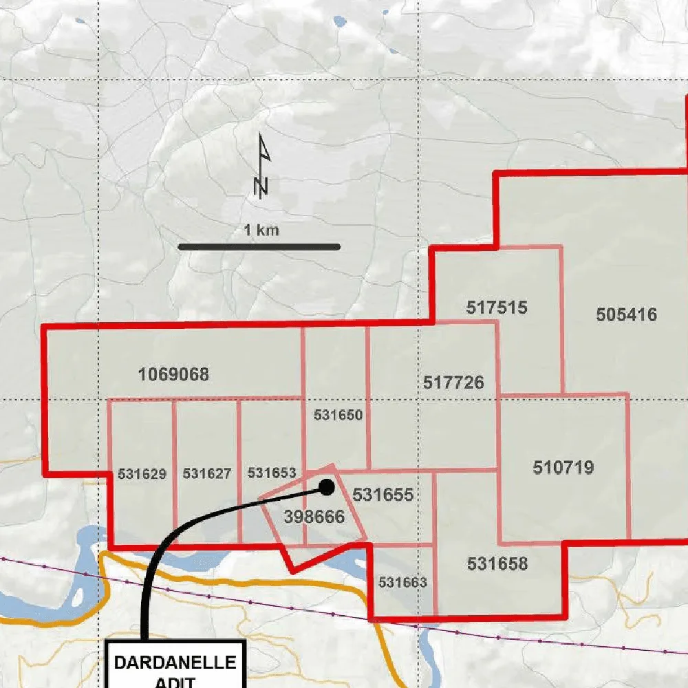
The Dardanelle Project is a significant mineral exploration project located east of Terrace, British Columbia, with excellent nearby infrastructure.
- 02
Land Package
15 mineral claims covering 1,434.02 hectares and the exploration work includes geophysical surveys, diamond drilling, and detailed sampling programs focused on extending known mineralization zones
- 03
Proximity to Infrastructure
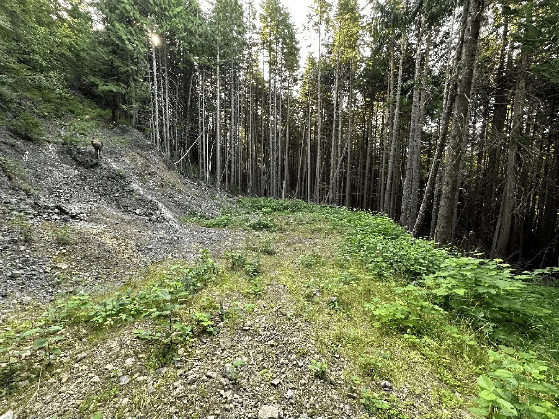
Proximity to Terrace with a regional airport, rail access, and power lines. Logging roads from Copper River extend 18 km to 20 meters of the historical adit portal. The explored area is fully accessible by ATV trails, with new trails added in the eastern section from recent logging.
- 04
Key Polymetallic Signature
The Dardanelle project is characterized by its polymetallic mineralization, including gold, silver, copper, lead, and zinc. This makes it attractive for diversified metal production potential, aligning with strategic exploration aims.
- 05
Mineralization Structure
Known vein system extends over 700 meters in strike and 180 meters in depth - NW-SE trending faults and dykes; main dyke is 5-10 meters wide and steeply dipping.
- 06
Primary Mineralization
Gold, silver, with presence of pyrite, sphalerite, chalcopyrite, argentite, galena, arsenopyrite, bornite, covellite
- 07
Surrounding Rocks
Triassic-Jurassic volcanic rocks of Hazelton Group, intruded by the Kleanza Plutonic Suite.
Maps
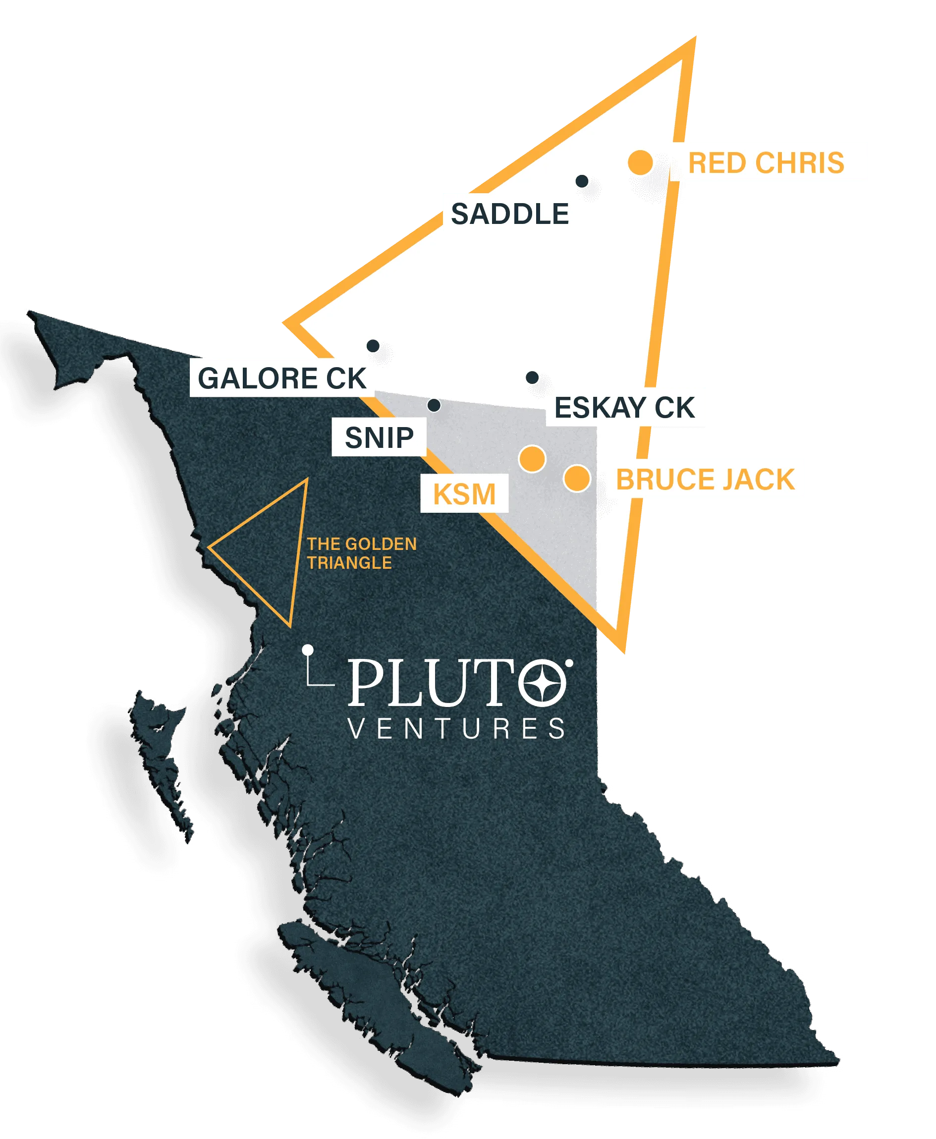
Property & Regional Setting
Timeline
Historic Exploration
1920s
Initial Exploration
Early prospecting activities identified mineralized zones on the Dardanelle property. Limited documentation exists, but initial findings indicated potential for precious and base metals.
1980s
Advanced Sampling & Mapping
Renewed interest led to more detailed surface sampling and geological mapping. Assays from this period reported notable gold and silver values in surface exposures, sparking further exploration interest
2020
High-Grade Surface Sampling
Grab sampling on the property yielded highgrade results, including 52.6 g/t Au, 74.8 g/t Ag, and 4.21% Pb. These results highlighted significant gold and silver concentrations and indicated a strong lead presence, making the property a high-priority exploration target
2021
Expanded Sampling & Drilling
A follow-up grab sampling program in 2021 revealed even higher grades, with assays returning 695 g/t Au, 206 g/t Ag, and 2.3% Pb. A 10-hole drilling program was conducted to assess the depth and continuity of mineralization.
Key drill results included quartz vein intersections with visible mineralization, enhancing the property’s profile as a polymetallic prospect with gold, silver, lead, and zinc potential.
Gallery
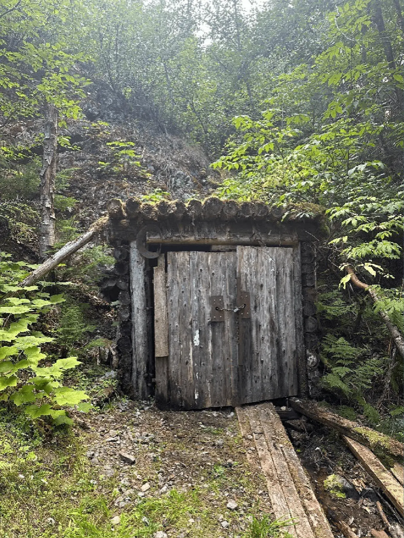
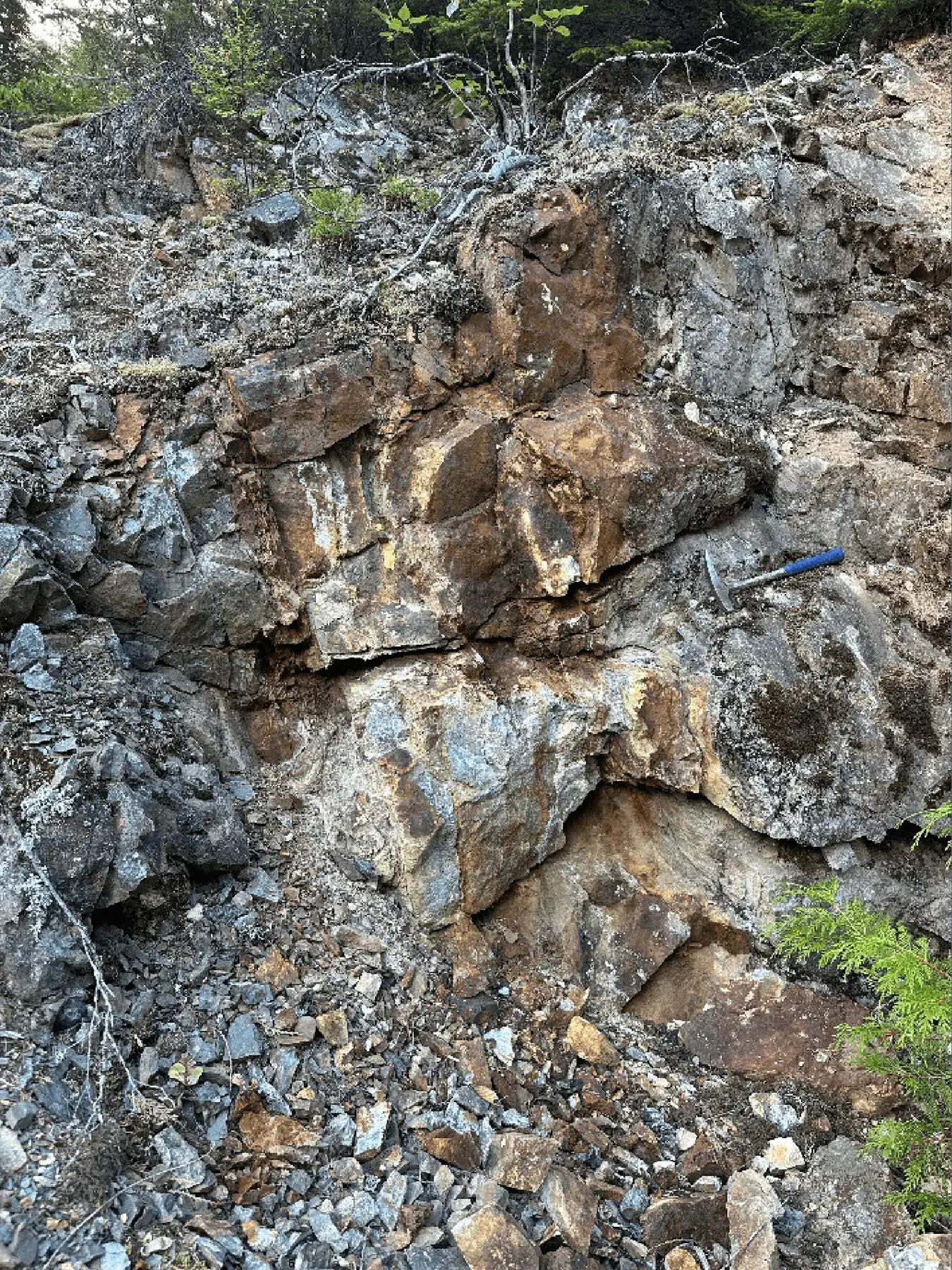
Impressions from the property
Updates
Latest News
Aug 25, 2026
Pluto Ventures Inc. Discontinues Monarch Project
Pluto Ventures Inc. (CSE: PLTO) ("Pluto Ventures" or the "Company") announces that it has elected to discontinue its involvement in the Monarch Project (the "Project"), which is subject to an option agreement with Troubadour Resources Inc.
Dec 1, 2025
Pluto Ventures Inc. Shares for Debt Settlement
Pluto Ventures Inc. (CSE: PLTO) ("Pluto" or the "Company") is pleased to announce that it has The Company also entered into a debt settlement agreement with an arms-length party (the "Creditor") to settle an aggregate $33,750 in debt (the "Debt").
Oct 15, 2025
Pluto Ventures Highlights Regional Geology and Exploration Potential at the Dardanelle Gold Project
Pluto Ventures Inc. (CSE: PLTO) ("Pluto" or the "Company") is pleased to provide an overview of the regional setting for its Dardanelle Gold Project, located near Terrace, British Columbia.
Stay informed